So, a long time since activation's. Below are pics of what has been keeping me off the mountains. So busy trying to keep up with the little guy. He is 20 months now.
But have no fear. I am currently packing an ultralight rig centered around my KX2. Going to pack it into my little man vest carrier/pack combo.
Work has been the all consuming monster devouring every bit of free time I have had. K9 training, a short staffed department, and overtime have been my life for the past month or two. It truly drains the soul. Add to that the anti law enforcement issues, and the death of so many officers recently, have made me want to get away from civilization. Fortunately, today I had the opportunity to strap on a ruck and head out into the woods.
My travels today have taken me back to Huckleberry Knob. Such a wonderfully beautiful Knob, I never will tire of it. Here is a video from one of my prior activation's here!
I decided today to bring an old friend to the mountain. My large ALICE pack.
This pack has seen many miles, fallen from C-130's, and carried more weight than I can measure. I took it out of service some time back due to a broken frame. But a trip to Amazon has brought new life to my old ruck. Once I arrived on the mountain I lifted a strap to shoulder, and I knew I was home. There is nothing like the tug of an ALICE pack on your shoulders. I am a bit of a gear-ophile and love some of my newer packs. But there is just something about ALICE.
The hike up Huckleberry is an easy one, and would make a great "starter" summit. A false summit offers some views of the top of Huckleberry. Below is a look at the false summit from the top.
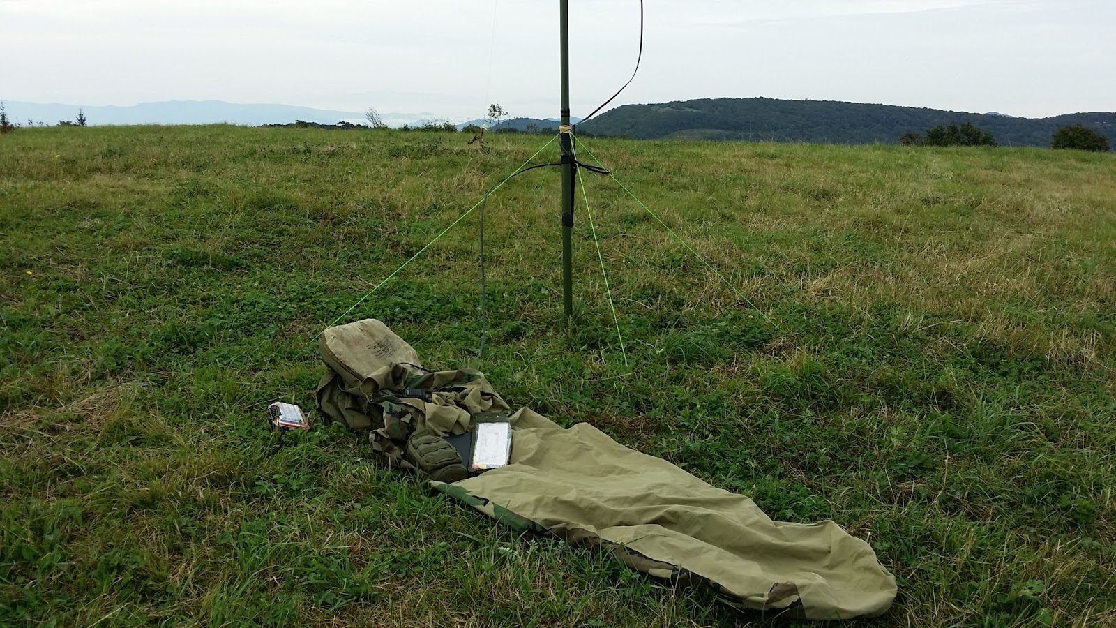
The open meadows make for some great opportunities for photographs, such as below.
Now normally I would be using my Nikon D5300. But.... I tried to snap my first picture and found that I had forgotten my SD card in my laptop. Bummer. But I am lucky that the Samsung Note 3 takes pretty good photos.
I fired up the KX3 and started sending 10w out of my 88ft inverted V. A short time later W4DOW answered back. Thanks Dow! A flurry of callers followed. Thanks to everyone. Especially W7RV. You were a great help as I bounced around the bands. We even made some great contacts on 15m and 12m, but 10m proved too difficult.
Just as I was getting ready to pack up I walked around a bit snapping a few cell phone pics. My phone miraculously received signal, and I found a text from WX4ET. Home sick, he asked if I was still on the summit. I powered up the KX3 again and we made a contact on 40m. Glad we could make the contact!
I packed up and headed home. It was a great return to Huckleberry Knob. On the way back I had a great opportunity for a photo. This guy followed me for a good way down the path. He would stop on a flower, but when I came close he would fly off. Finally he gave me the opportunity for a photograph.
Thanks again to all the chasers out there. I hope to activate Max Patch next Monday.
Until then stay safe out there brothers and sisters.
Well the wife and I finally took the plunge and purchased a small RV. I now have a very nice mobile command center from which to launch my SOTA expeditions. Check out a few pics!
I have been real busy with work, and home projects. But I hope to get back out on a mountain soon. With the RV I may also do a bit more chasing while in camp.
The wife has even started studying for her technician license!!! Well have fun, stay safe, and keep climbing!! 73's
Mt Mingus, thou art a cold heartless wench! I must say that of all my activation's Mingus has been the toughest. Mt. Mingus appears to be much easier in the planning stages. The hike is easily under a mile and a half with not a great deal of elevation change. But this mountain has teeth. She will whip you, beat you, slap you, impale you, and trip you. She will cause you to scream obscenities, and shed tears. Having been there once before I knew the challenges ahead. But last time was in the winter. Today would present some different and difficult challenges.
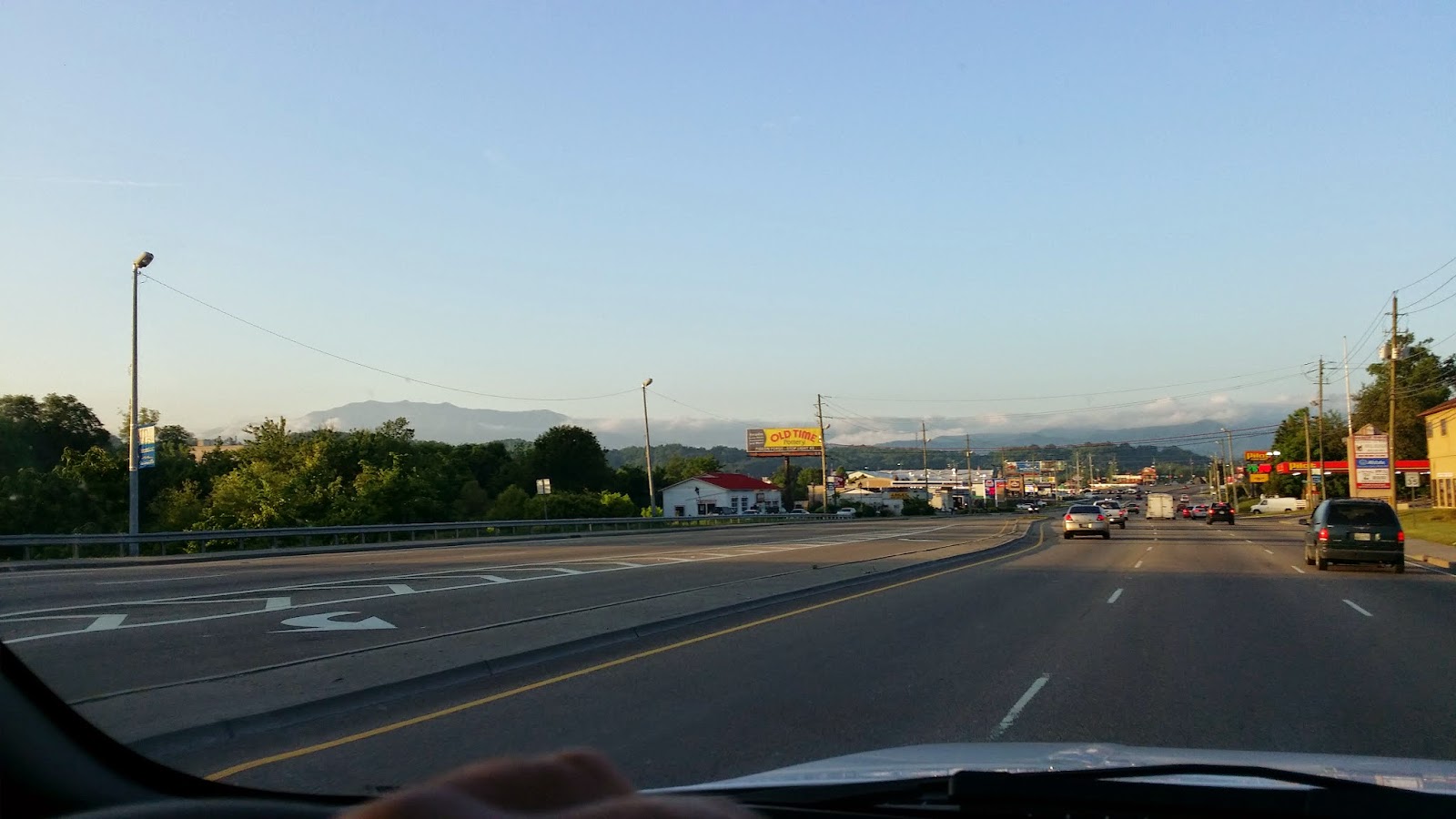
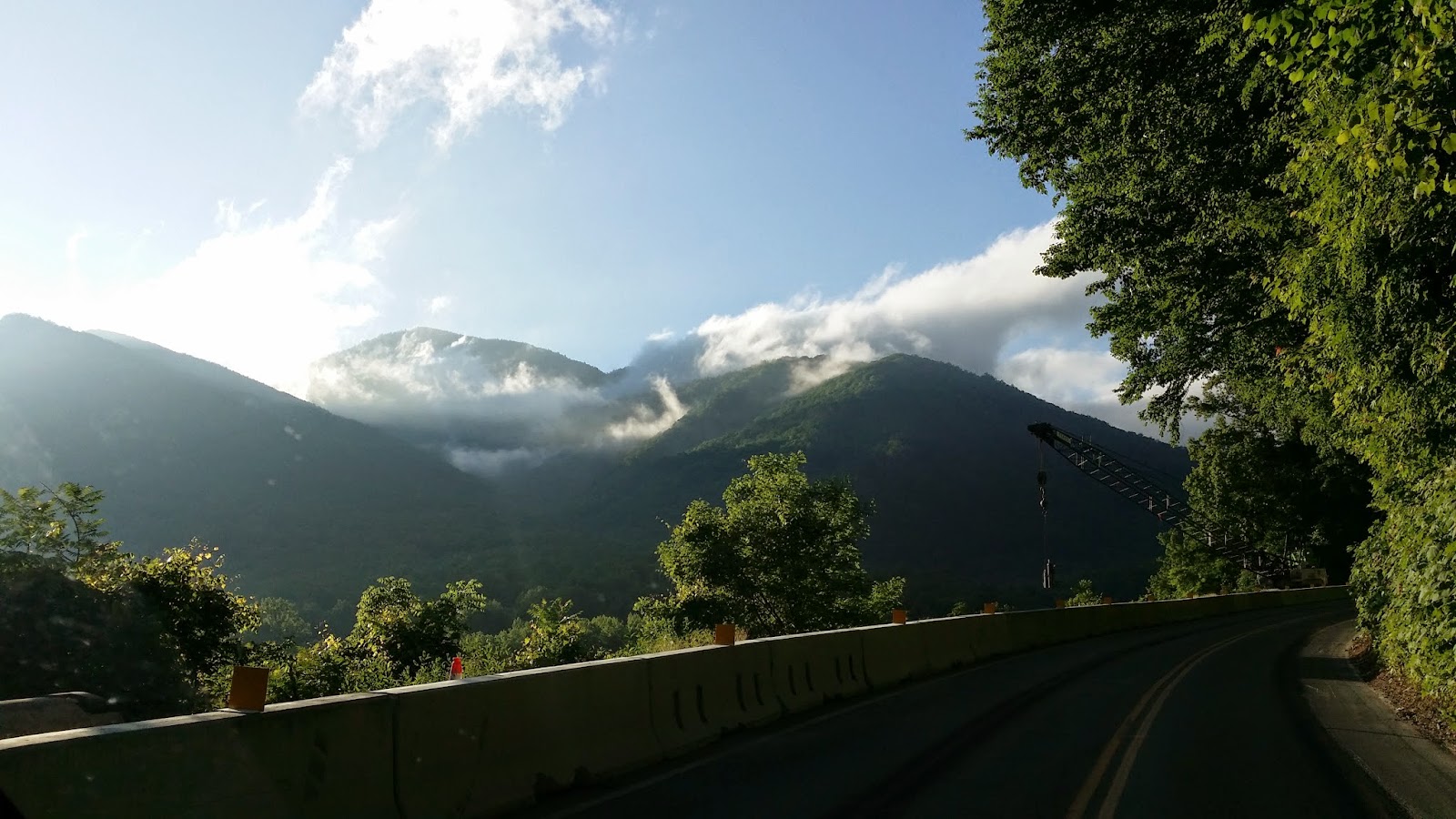
In afterthought, I should have started out a little earlier. I should have hit the trail head just as dawn hit. I slept in a bit and headed out a little before 0700. Below are a few pics of the drive out there. The only drive to a summit where you will see the Titanic, John Wayne, and King Kong.
I arrived at the trail head shortly after 0800 hours. The trail head is located on the Clingman Domes road. There is am information sign describing the Indian Gap Road.
Indian Gap
Into the Rabbit Hole.
The hike begins easy enough. Follow the trail towards Newfound Gap. Along the way you will run into a metal platform helping you over a fence line. As you can see a few of the hikers support local law enforcement.
A short easy climb until you hit the turning tree.
Turning Tree
This is where the fun begins. Navigation is fairly straight forward. The ridge line is fairly narrow so in most parts keep the down hill on your left and right and you should be good. Do bring along a GPS, or be good with a compass and map. The brush is thick, and at times you will want to check your bearings to keep from back tracking. The first quarter of a mile is the easiest. There is even a faint trail that can be seen at times. It soon disappears and you are faced with a tough bushwhack. At some point my HT died and would not turn on. After returning home I put in my spare battery and it fired right up. I am currently charging the battery, and hope it is still serviceable. It should have lasted throughout the hike.
Hours of this
The Big White Rock
There are a few spots where you can get a pretty good view of Mt. Leconte, including the Alum Trail.
Mt. Leconte and Alum Bluff
Setup, Finally
I setup and made my first contact at about 1230. I tried calling CQ for a bit, but no takers. It was difficult to setup my dipole, and I know it wasn't operating at its max efficiency. I need a smaller antenna like a mag-loop for this type of summit. There was a bunch or rag chewing on 7.200 so I dropped down around 7.196. No luck. I scanned around and made my first contact with K3IMC on 20m. I kept scanning and checked into a few nets to ensure I could activate. On one of the nets I made a contact with AB9LF. He said he was familiar with SOTA and would spot me. Unfortunately I don't think his spot was entered. I made one more contact and called for a few on the Freq AB9LF said was spotted, but received no calls. I was way behind schedule and knew I had to get moving if I was going to get off the mountain before nightfall. I packed up and headed back.
I only made six total contacts. None were my usual chasers. I hate when I cant get the chasers their points.
I would like to thank everyone for their concern for my safety. Whenever I pack into the back-country I am always well prepared. I never enter the backwoods unprotected. My Glock shared in my journey today. Remember to always follow your local firearm laws. I also carry a certain amount of survival gear. First aid gear, emergency shelter, 3 ways to start fire, and enough food and water for a comfortable overnight stay. I have had a great deal of first aid training, survival, and military experience. I also have an emergency plan in place. If the wife has not heard from me by sunset she knows to sound the alarm. I hate to hike alone, but I am confident of my abilities.
I do appreciate all the thoughts for my safety everyone. This is why I love the SOTA community. We are a tight knit community that cares. A special thanks to Erik, Dow, John, David, Gary, and Martha. You don't know how much your concerns mean to me. I endured some scrapes, bumps and bruises. No major injuries, nothing some Aleve wont take care of.
Today I had a tough day. Gear problems, antenna problems, and few contacts. Here is a quick breakdown of the day.
Lost Compass 85 Dollars
Lost Compass Pouch 10 Dollars
Lost Patch on Pouch 5 Dollars
Destroyed Combat Pants 60 Dollars
Dead HT Battery 20 Dollars
Knowing your friends truly care
Priceless
Again thanks everyone.
I will be working on a short video over the weekend that will show the fun bushwhack. I think it shows me falling toooo many times! Should be a good one.