Its been a few days since my Max Patch/Snowbird activation, and I finally have the opportunity to do the write up. Max Patch is one of my favorite local activations. It is an iconic peak along the Appalachian Trail, and you will frequently see thru hikers passing thru. Today was a perfect day for an activation here.
During my last trip up Max Patch there was considerable erosion on the main trail up the summit. It seems that they are finally rectifying the problem. The center trail up the mountain is permanently closed, and is starting to return to a natural state. Today I headed to the summit via the left trail. In the future I will take this trail to the summit. Although it is a tad longer than the old trail, it is a shallower climb. It also has some great views from the back side of the mountain.
I set up on the summit, and enjoyed a beautiful morning activation. I made my contacts, not as many as usual, but I was a bit on the early side. I will have to remember the guys on the west coast might not be out of bed if I get to the summit too early.
Today I brought along my new Maxpedition Monsoon. On the side belt I have my camera, and lens bag attached.
As you can see there is ample room in the inner pocket for my KX3 and battery. This little pack is proving to be my go to bag for short day expeditions.

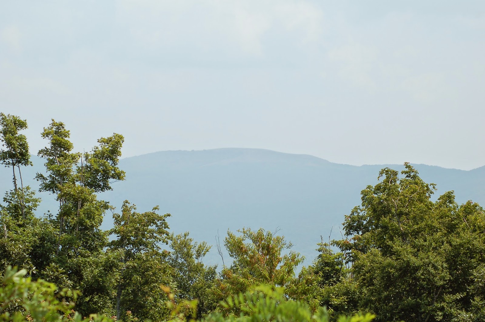
Today I decided to attempt two summits. After wrapping up on Max Patch I headed out to Snowbird Mountain. As you can see below Snowbird's summit is visible from Max Patch.
And a view of Max Patch From Snowbird.
So, on to Snowbird. During my trip planning I read the access road to the summit is a very steep gravel road. The warnings were spot on when they stated the road way is so steep front wheel drive vehicles will have a real tough time. If you look real close you can see my Jeep Patriot pulled into the weeds along the trail. It may not look steep but it is!
The road way is steep and loose. So K9 Kimber and I decided to walk the final mile and a half to the summit. And so the "SUCKFEST" begins. It was a very tough, hot, tiring climb. I was ill prepared for the "walk" up this gravel road, and ended up donating half my water to my K9 partner.
I also saw two small rattlesnake sunning themselves on the road. I didn't take pictures because I had to toss them over the side of the roadway with my antenna pole so Kimber didn't get too close. So if you head up the mountain on foot beware of snakes.
We finally made the summit and setup near the FAA equipment. I had considerable trouble with noise on this summit, and barely made my contacts. I had to tear down my antenna and move to the edge of the activation zone. While on the summit there were tons of bugs! Kimber was rolling in the dust to keep them off. Wish I could have done the same. This summit sucked. I may do it in the future, but not without a 4 wheel drive.
Or one of these.... I am considering buying one for me and Kendall. The perfect SOTA Assault Vehicle!!!!!!!
Thanks again for reading. I am headed out today to the Huntsville Hamfest. I will take some pics, and try to activate the summit on Monte Sano. From what I understand there will be several SOTA activators and chasers there. I am excited to get the opportunity to meet them in person!
73's AND KEEP CLIMBING!!!


No comments:
Post a Comment